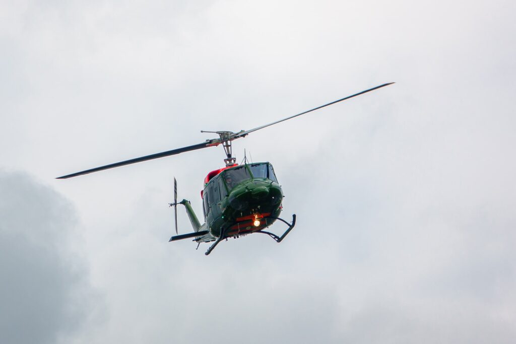
LFT Airborne GmbH makes helicopter flights operationally safe.
Poorly visible and therefore overlooked obstacles pose a significant safety risk for pilots.
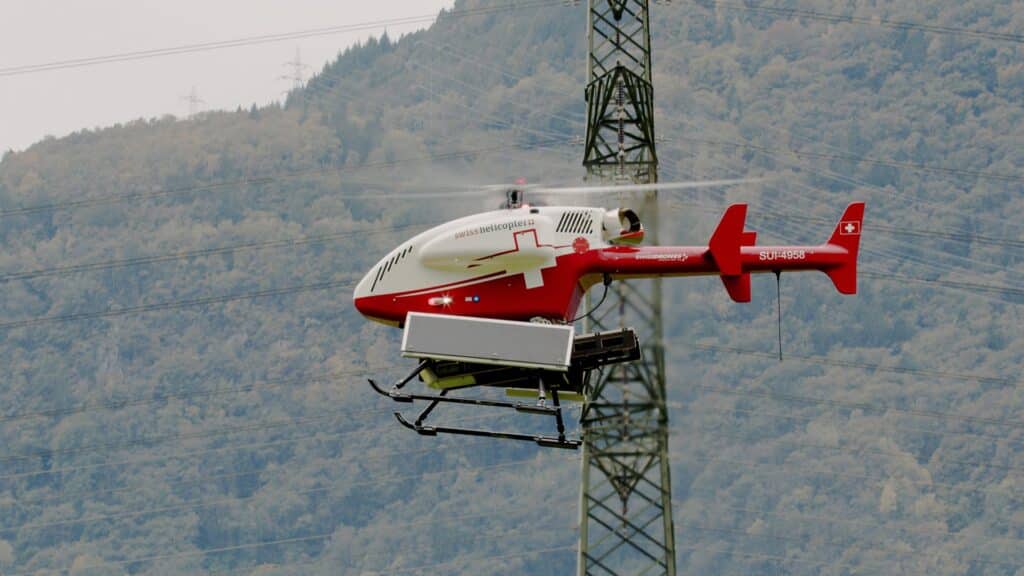
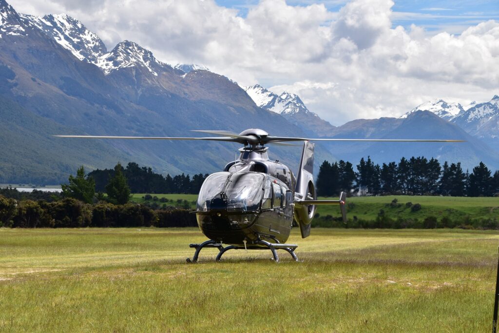
Our technology enables take-offs and landings in difficult terrain or in critical weather conditions. In addition, easily overlooked obstacles such as power lines are made visible.
Why Us?
Our focus is on combining existing aviation expertise with the technological advances in autonomous driving and bringing them into the air.
With its technology, LFT represents a further development for helicopter use based on the automotive sector.